Questions
Answers to frequently asked questions
The Team
Find out more about the people involved with the Upper Charles Trail.
Photo Gallery
Visit the photo gallery with pictures documenting the progress on and off the trail
Local Weather
Heading out on the trail and need to know the local weather forcast? Visit our weather page.
MISSION STATEMENT
The mission of the Hopkinton Upper Charles Trail Committee (UCTC) is to provide leadership and oversight of the planning, design and development of the Hopkinton rail trail for recreational use.
OUR VISION
To develop a multi-use, recreational path utilizing the former Penn Central Railroad right-of-way and/or Town-owned property that will integrate recreational, conservation, educational and economic development opportunities in the Town.
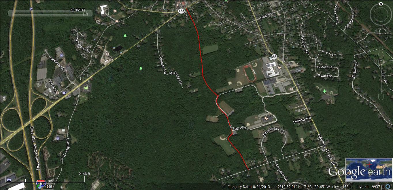
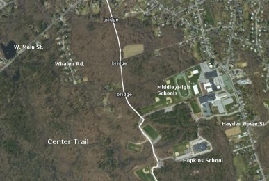
The recreational path is envisioned to run continuously for approximately six miles through Hopkinton; from Milford (connecting to the Milford Upper Charles bike path) to the Ashland border. The recreational path will provide connectivity to Town-owned open space, trail systems, Downtown, and points of interest.
